


Diligent Surveyors Ltd
Accurate / Excellent

About us
We are diligent surveyors; that’s right we are diligent and focused. We take a lot of care and effort into our work, putting our clients first. No project is too big or small for us, your work matters to us.
We love what we do and always give the very best of our time, resources and energy. If you trust us with your work, you will not have to worry about commitment and dedication.
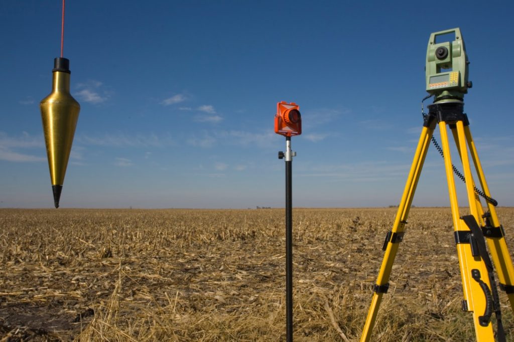
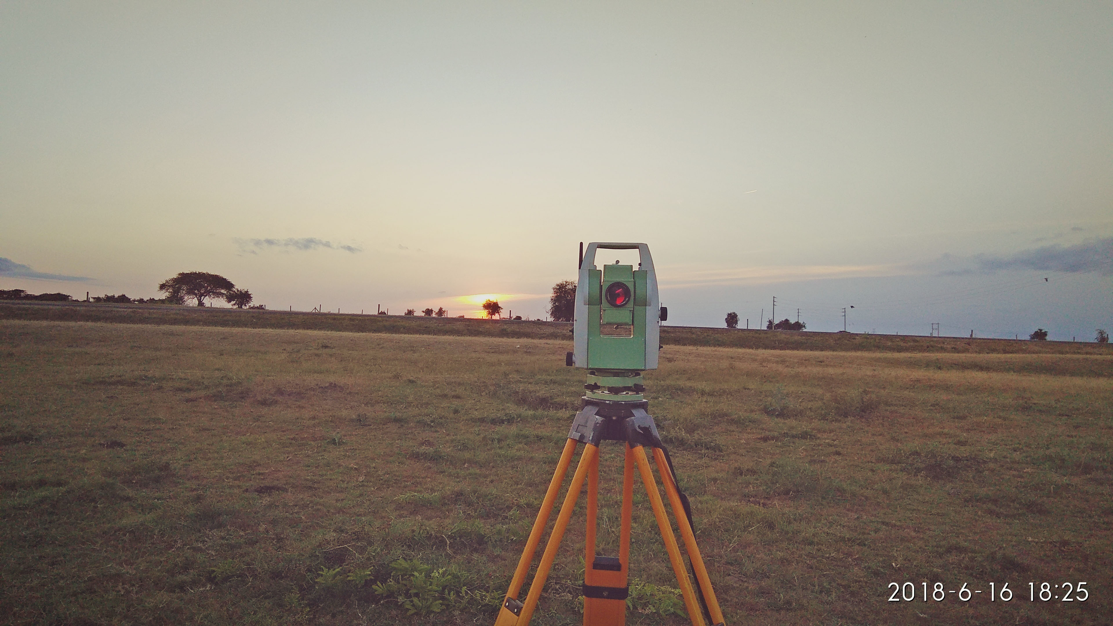
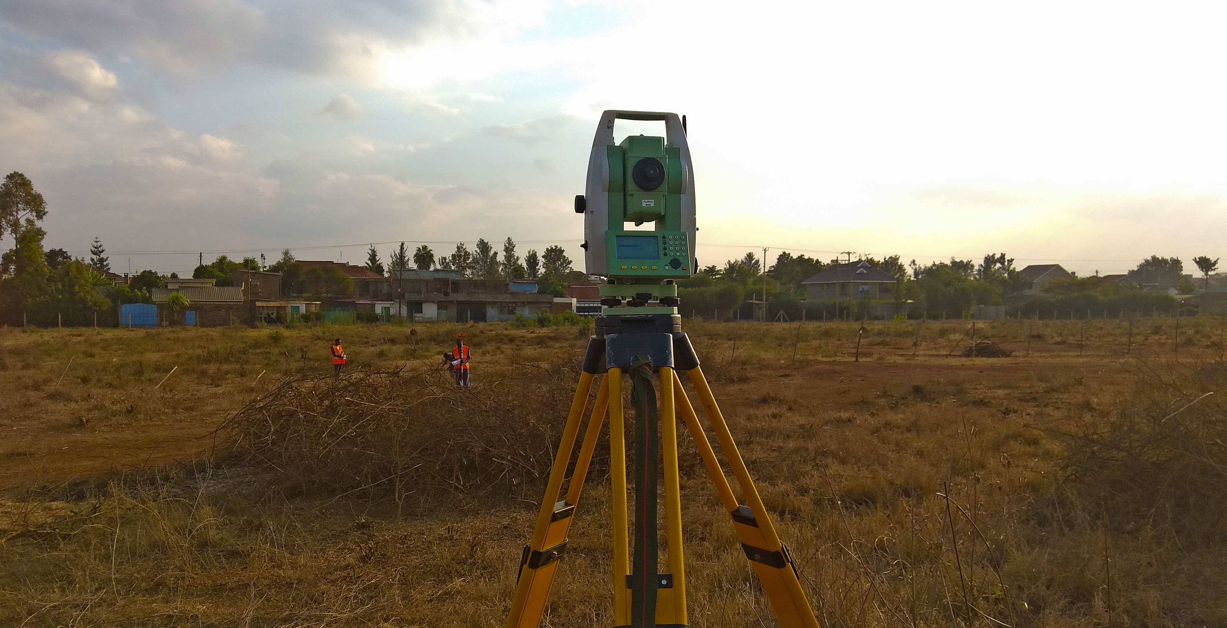
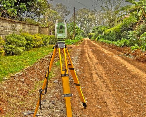
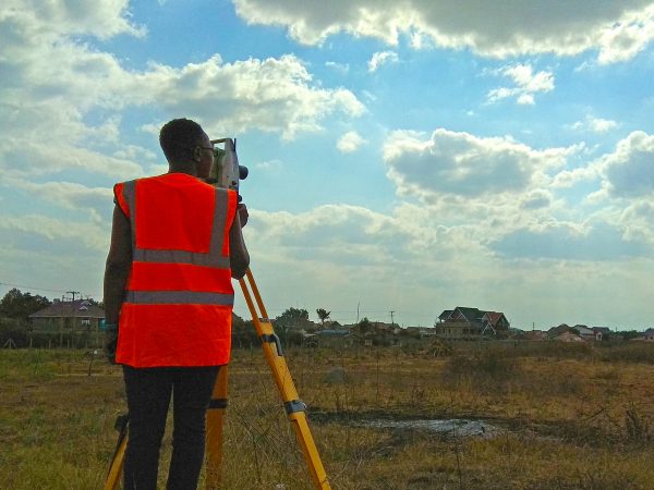
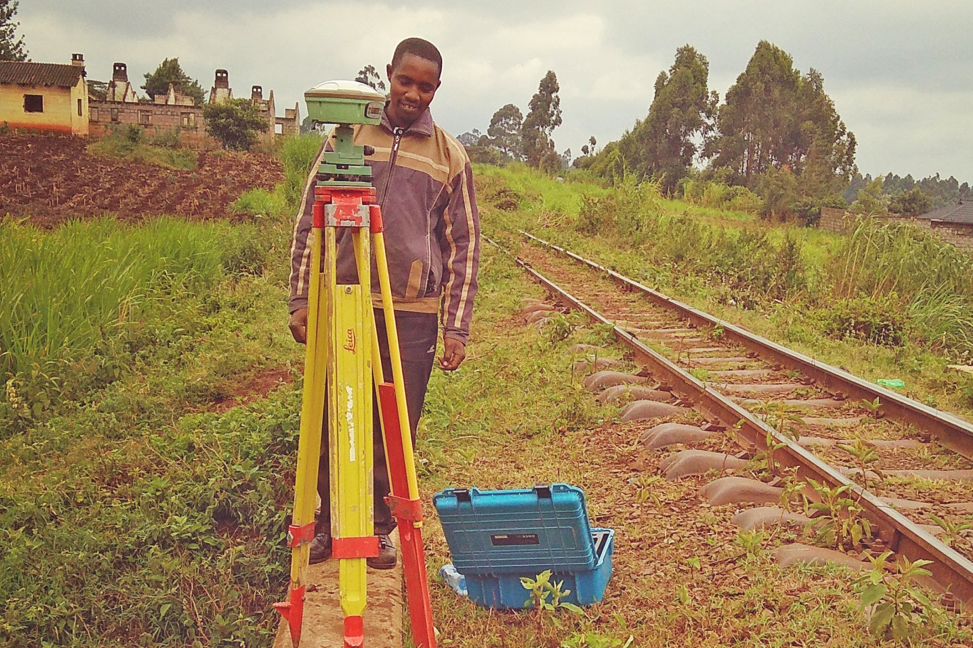
Engineering Survey
The planning, design and construction of works require accurate surveys in three dimensions of natural and man-made features.
Mapping
Geographic Information Systems (GIS), Global Navigation Satellite System (GNSS) and Computer-Aided Design (CAD) systems to compile, analyze, and distribute the most accurate information possible on the location of natural and man-made resources that we survey.
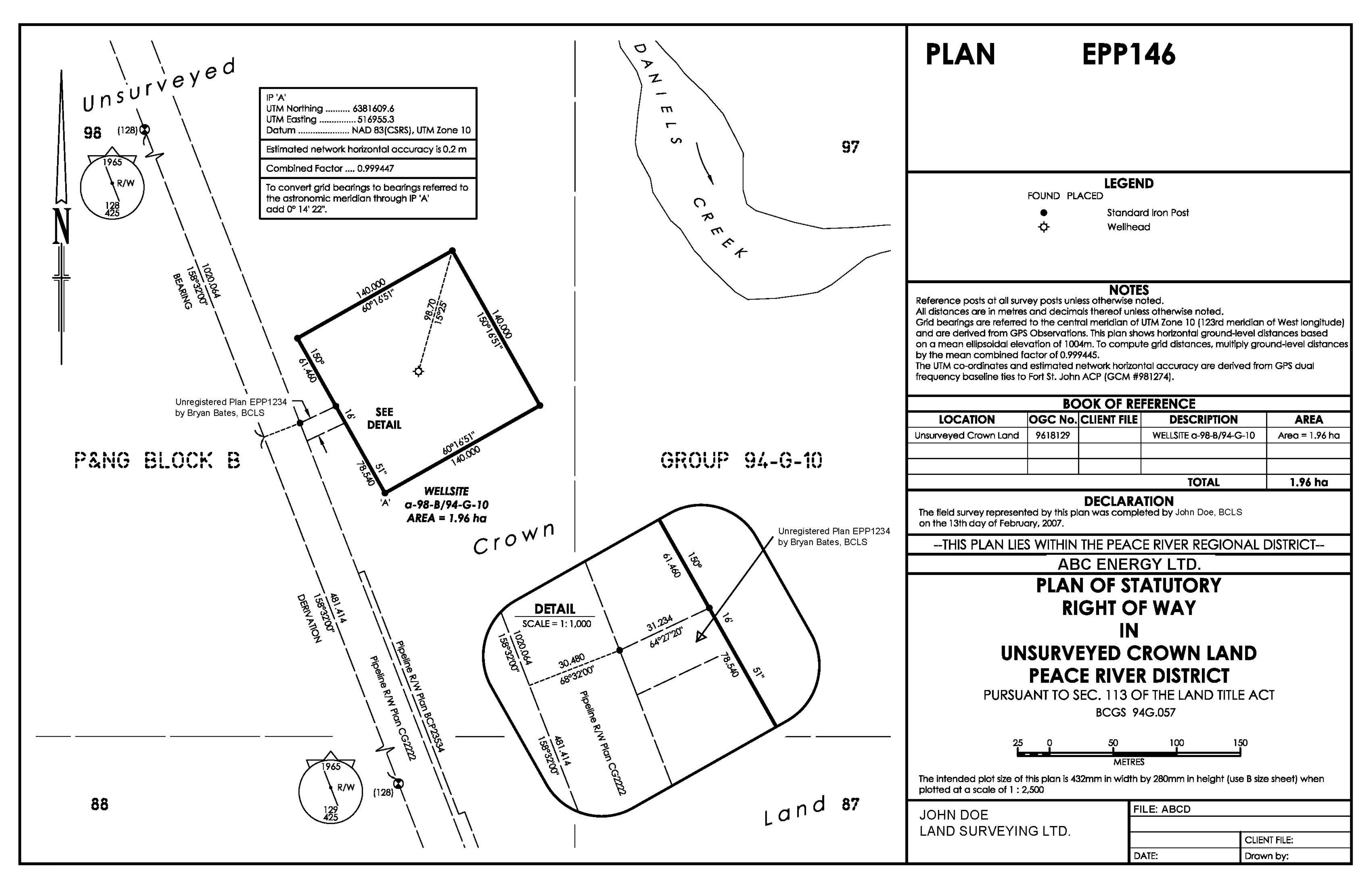
Cadastral Survey
Property boundaries that are depicted on government maps & deed plans are further referenced in the title deed or lease that is issued by the government.
Cadastral Plan
Land records are composed of survey documents (plans) and associated registry records (the rights and interests in land).
Services
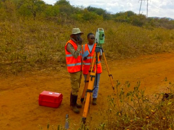
Land Surveying.
Land survey is our passion and we pride ourselves in the excellence of our work. To us survey is not only a science but an art as well, we take the time needed and put in the effort required to get accurate results.
Engineering Survey
It’s not just about the science and mathematics that hinges our work together; we are all committed to our work and a delight to talk to.
Free Site Visit
A site visit is good opportunity to get a first impression; we will come to your development location for free so you can get to see what we are like and talk to us about your work. We find that it makes everything smooth and crystal clear.

Mapping
We use cutting edge technology such as Geographic Information Systems (GIS), Global Navigation Satellite System (GNSS) and Computer-Aided Design (CAD) systems to compile, analyze, and distribute the most accurate information possible on the location of natural and man-made resources that we survey.
What is Cadastral Plan
Land records are composed of survey documents (plans) and associated registry records (the rights and interests in land). When surveying new parcels of land or resurveying existing parcels of land, surveyors must be aware of the legal ownership rights on the land, ownership disputes or conflicts, and historic surveys. Cadastral parcels should be maintained together with both their survey source information (plans) and corresponding registry information (rights).
Where Engineering Survey is used
For planning and estimating new engineering projects like water supply and irrigation schemes, mines, railroads, bridges, transmission lines, buildings etc. surveying is required.
Cadastral Survey Requirements and the Cadastral Overlay
A basic component of the multipurpose cadastre is a cadastral overlay delimiting the current status of property ownership. The individual building block for the overlay is the cadastral parcel, an unambiguously defined unit of land within which unique property interests are recognized. The overlay will consist of a series of maps showing the size, shape, and location of all cadastral parcels within a given jurisdiction.